.png)
Intelli 401 Geodesy
A vertical take-off and landing UAV for detailed terrain mapping in confined areas. Certified to produce 3D terrain models, DEMs, and orthophotomaps.
- 45 MP Camera | Max Flight: 60 min | Max Area: 2.4 km²
- Speed: 36 km/h | Weight: 9.3 kg | Range: 40 km
- Operating Temp: −20 to +40 °C | Dimensions: 150×150×43 cm
.png)
Intelli Gemini
A photogrammetric aerial survey drone offering 5 cm horizontal accuracy with GNSS receiver and 24 MP camera for high-quality images.
- Flight Time: 40 min | Area: 1.5 km² | Speed: 54 km/h
- Altitude: 4,000 m | Wind Resistance: 10 m/s
- Compact Design: 550 mm | Weight: 1.9 kg
.png)
Intelli 401 Lidar
UAV for laser scanning and high-accuracy 3D modeling. Supports multiple LiDAR payloads and operates precisely in constrained areas.
- Flight Time: 40 min | Area: 0.74–1.7 km² | Speed: 50 km/h
- Altitude: 25–160 m | Wind: 12 m/s | Electric Motors
- Temp: −20 to +40 °C | Folded: 71×20×19 cm
.png)
Intelli Gemini Multispectral
Ideal for agriculture and ecology, equipped with a 5-band multispectral camera and GNSS receiver for vegetation indices high-accuracy maps.
- Flight Time: 40 min | Area: 120 ha | Altitude: 4,000 m
- Weight: 1.9 kg | Temp: −15 to +40 °C
- Diagonal: 550 mm | NDVI, SAVI, NDRE capable
.png)
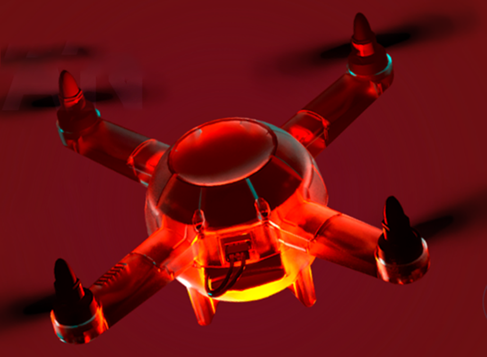
Intelli 801
Lightweight quadcopter with dual cameras and thermal imager for real-time inspections. Suitable for search, rescue, and emergency ops.
- Flight Time: 40 min | Speed: 54 km/h | Altitude: 4,000 m
- Display: 10.5" | Control: 7" FHD Touch | Brightness: 2,000 nits
- Range: 5 km | Weight: 1.3 kg | Temp: −20 to +40 °C
Intelli 001
Educational and lightweight drone built for learning, training, and spectacular drone light shows. Designed to introduce students to aerodynamics, embedded systems, and GPS navigation.
- Weight: 250g – 2kg | Flight Time: 5–30 min (based on specs)
- Speed: 27–37 m/s | Vertical Speed: 1–2 m/s | Deceleration: 5–10 m/s²
- Rotational Speed: 200°–600°/sec | Rotor RPM: 20,000–40,000